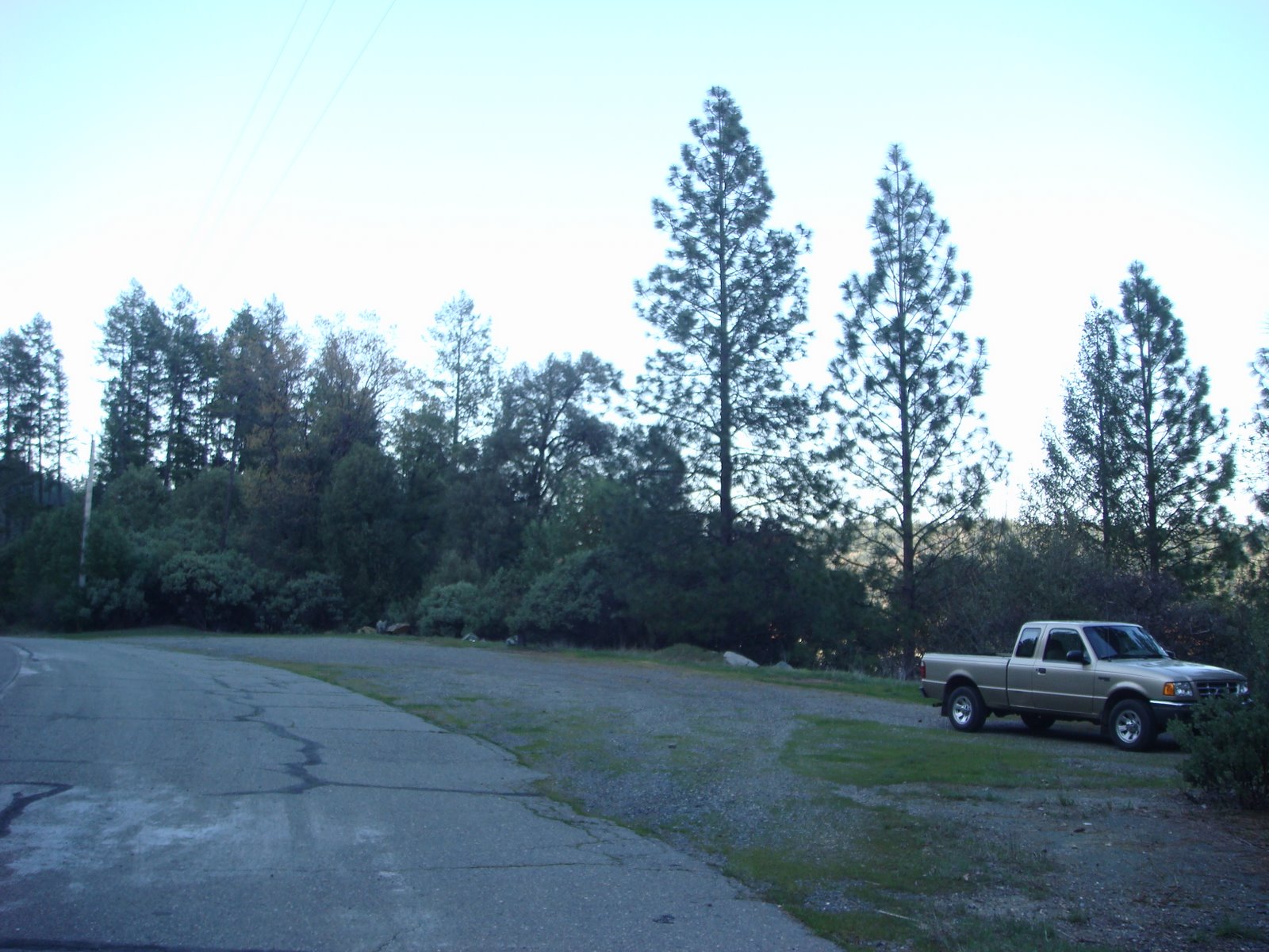
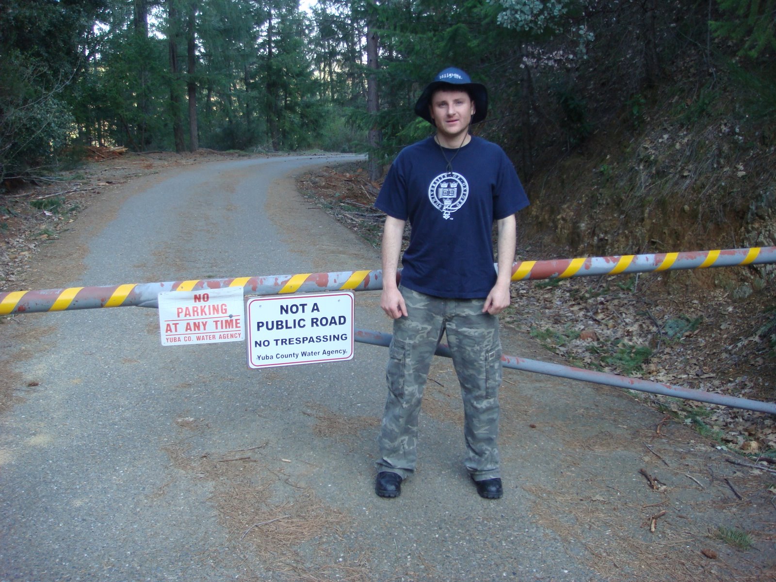
This is where you park to hike down to the front of the dam. Well, there are other ways, but this is the easiest way:
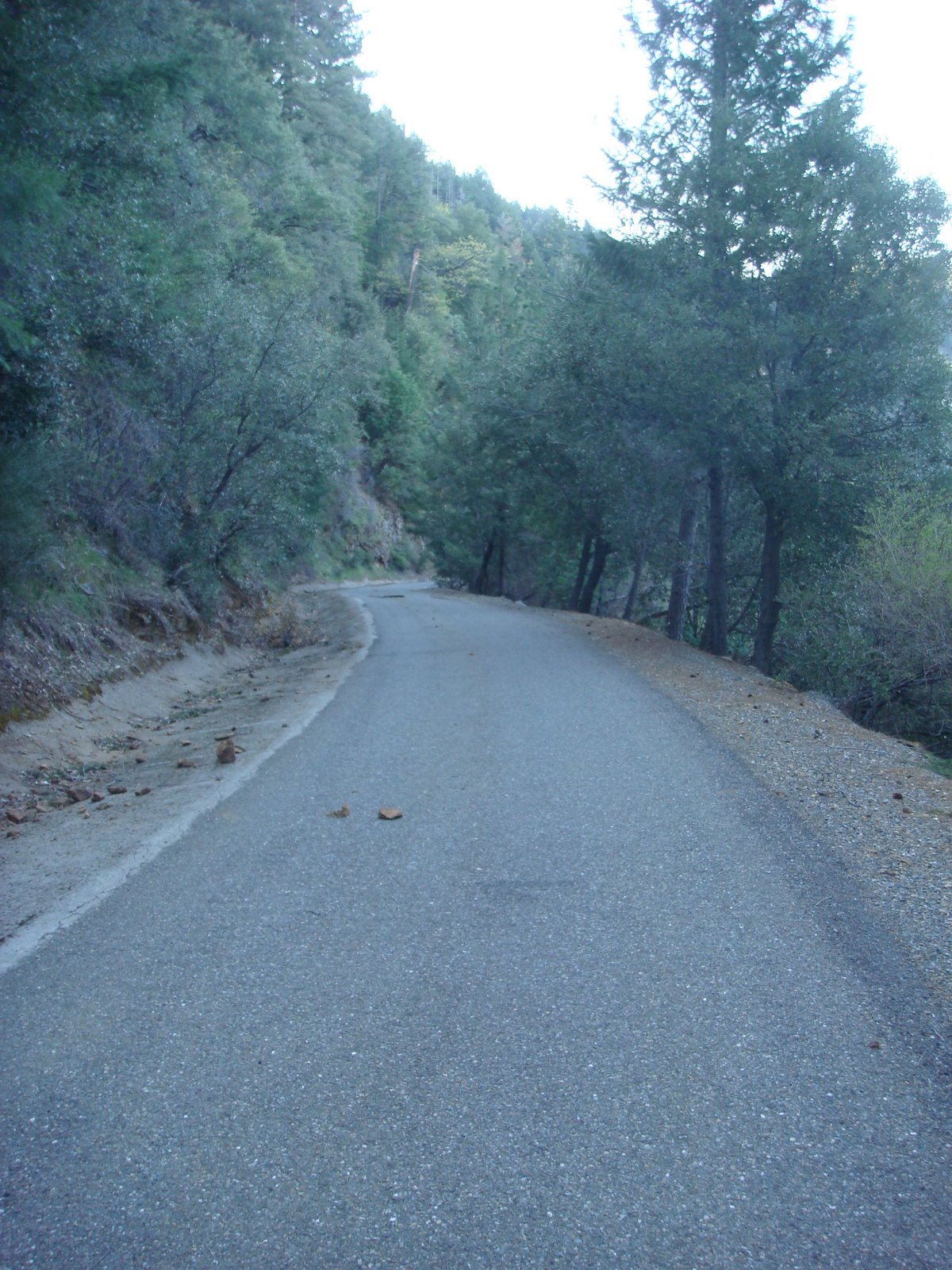
This is the road down:
The road is paved all of the way down, but it is steeper than it looks. Hiking out will give you a good cardio workout:
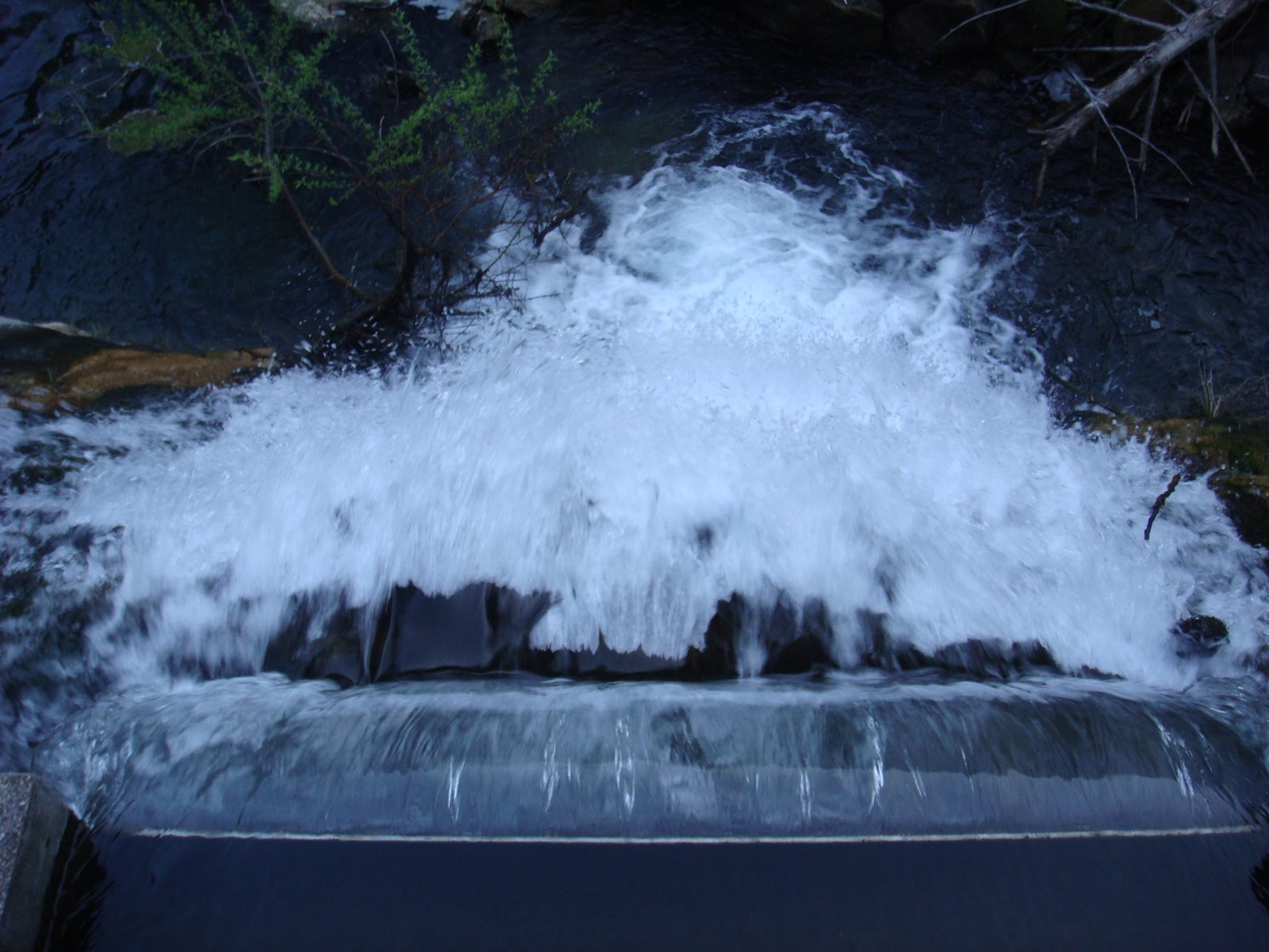
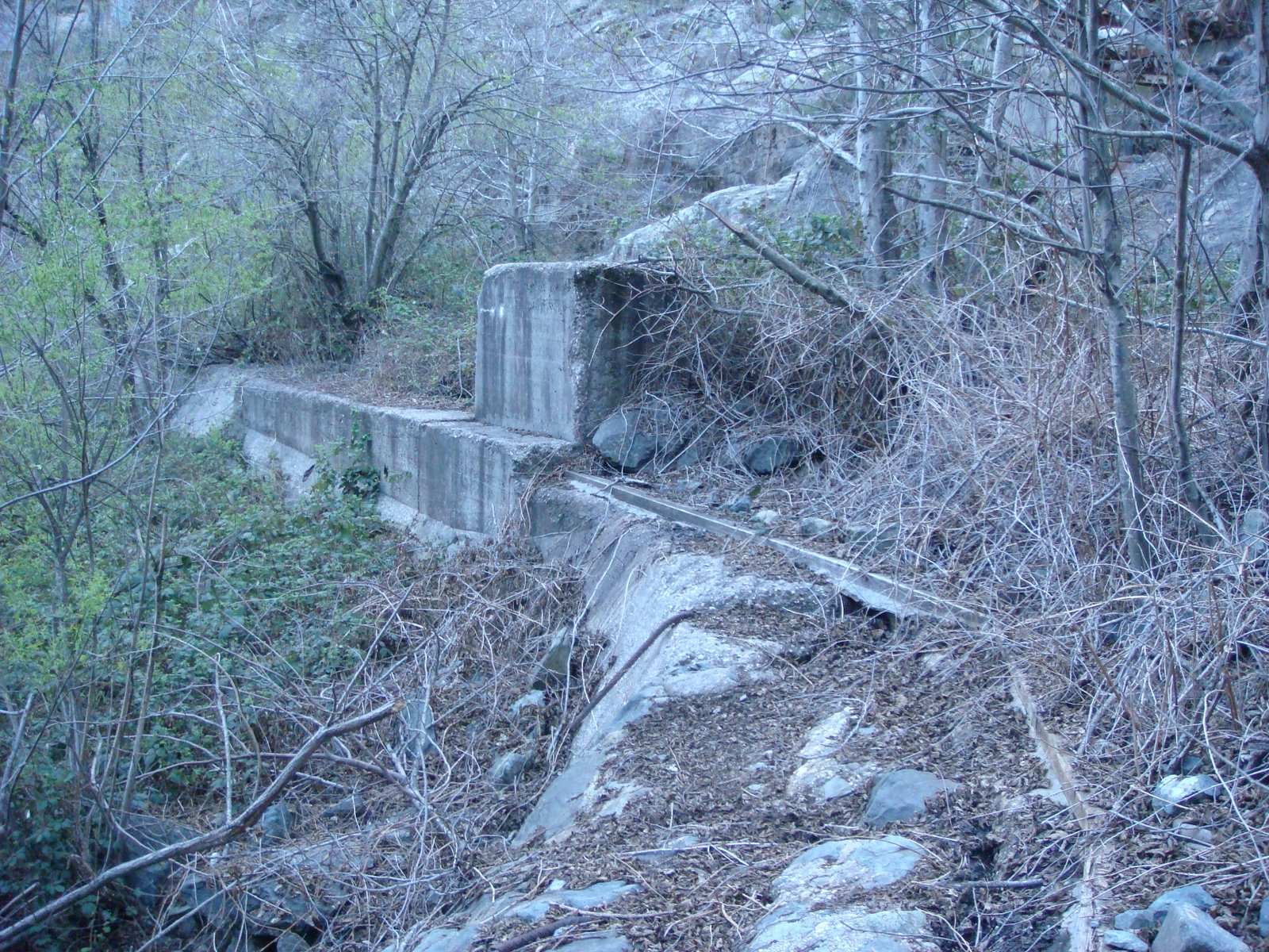
A weir below New Bullards Bar Dam:

The spillway from the new dam. Notice how the canyon is scoured down to bedrock. And, yes, it’s bigger than it looks:

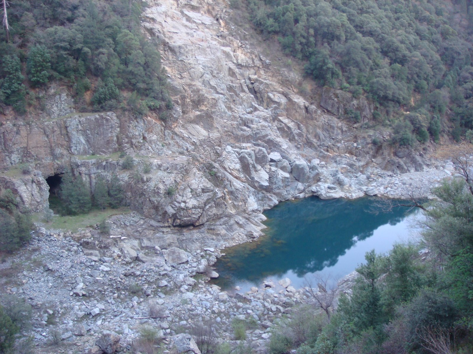
This tunnel was constructed to divert the Yuba River around the construction site of the New Bullards Bar Dam… New Bullards Bar Dam was constructed between 1966 and 1969:

The first good glimpse of the industrialization of the riverbed:
Rockslides are common in this area:

Getting closer to the bottom:
And getting closer to the dam:

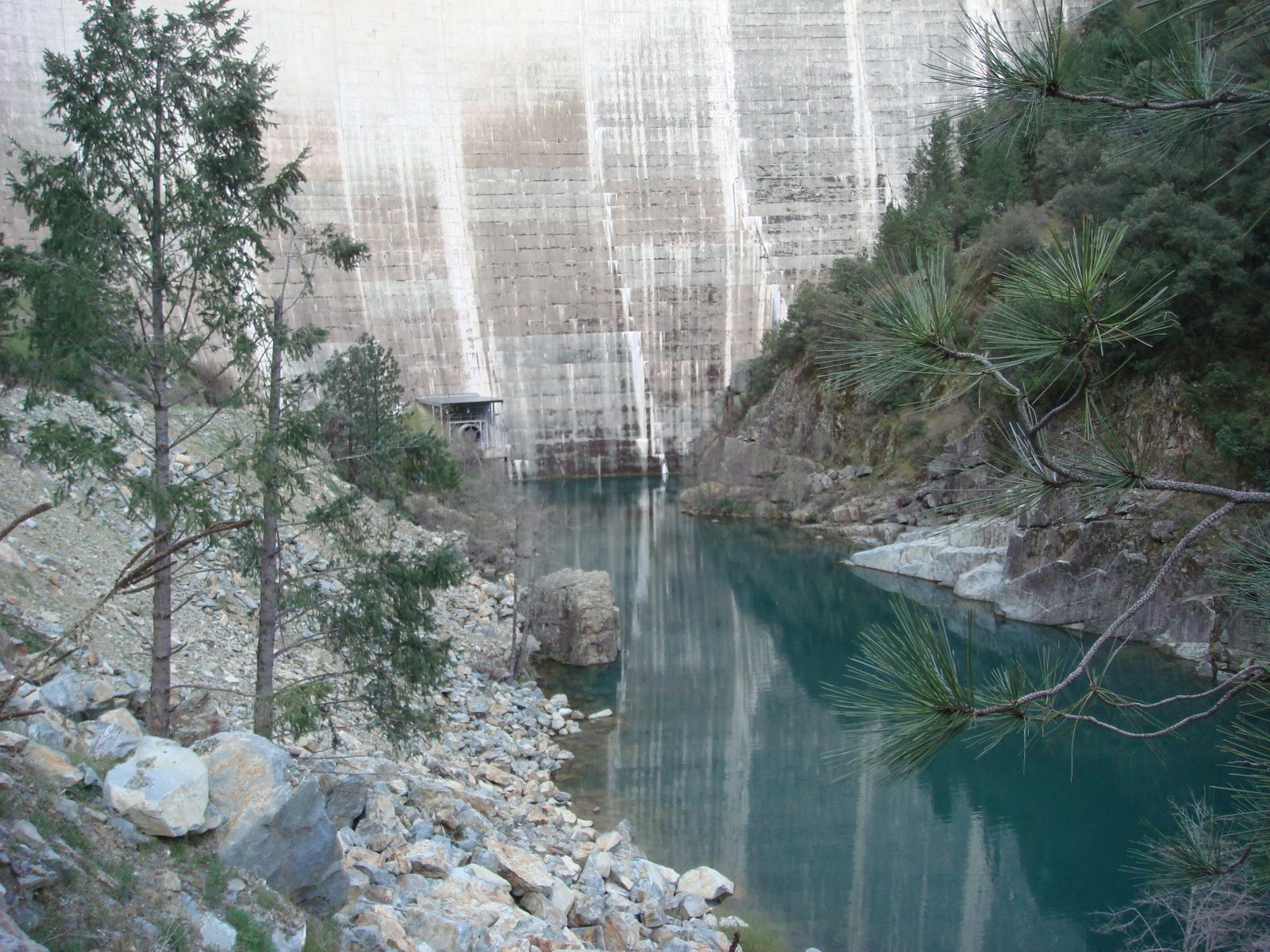
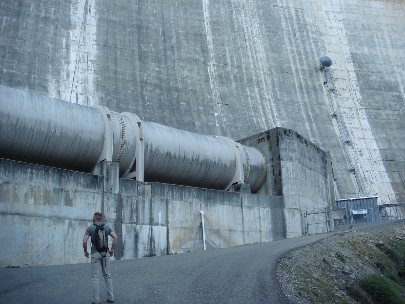
What it’s all about… Bullards Bar Dam at the base in all of its 697 feet of “glory”. It is an impressive engineering feat:

The sides of the dam:


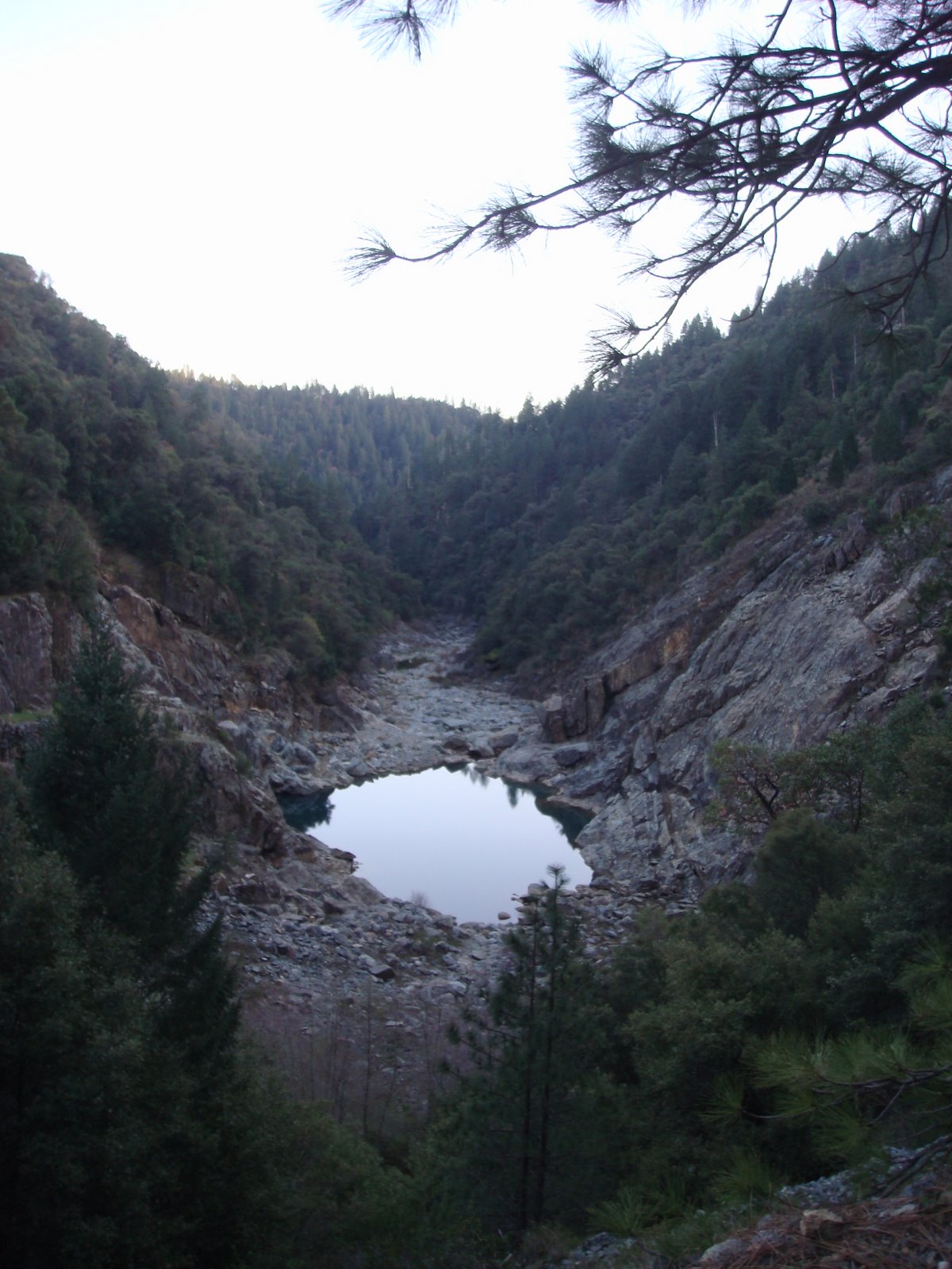
Well, this is what the once mighty Yuba River has been reduced to… A drain plug at the bottom of the dam:
You might be wondering where “Old Bullards Bar Dam” is… It is underwater. Built in 1921-24, the Old Bullards Bar dam was completely submerged when the New Bullards Bar Dam was completed. Knowledgeable sources (Thank you Stephanie and Robert) have advised me that the lake created behind the old dam was approximately eight miles long.
A closer view of the wier in front of New Bullards Bar Dam:

This is the outlet on the weir for the waters of the Yuba River:
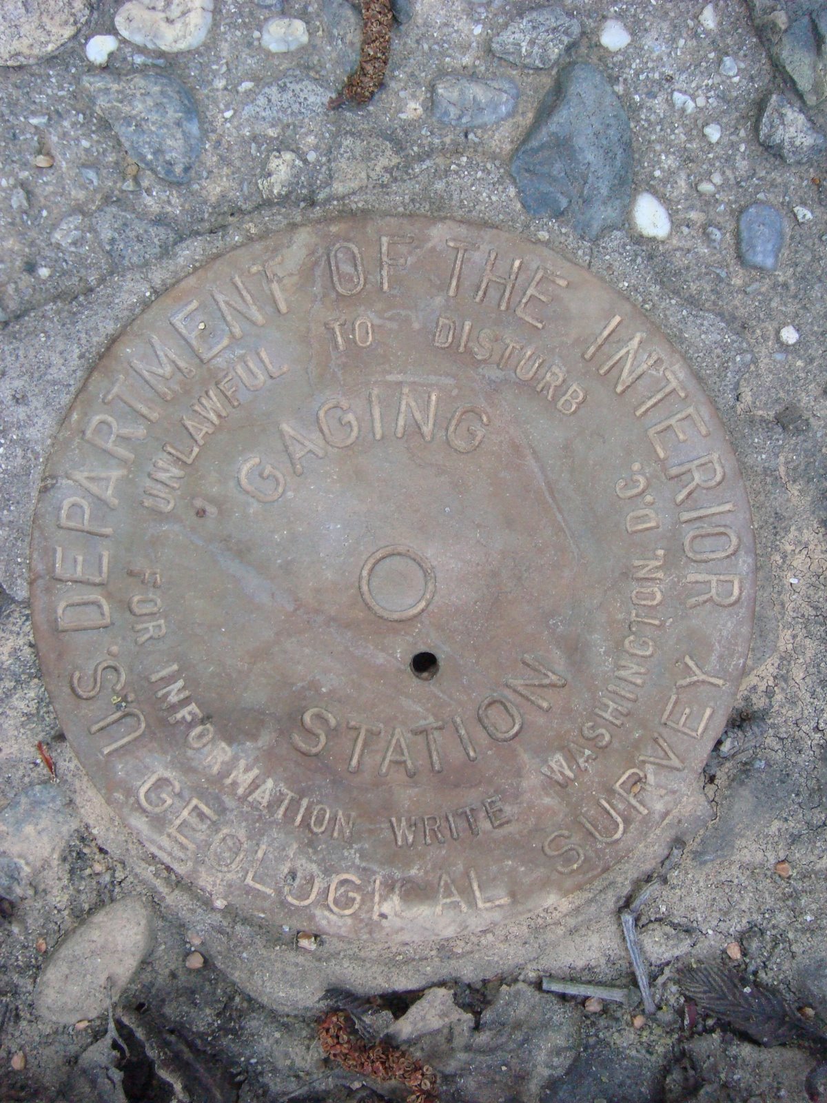
Seal of legitimacy:
The weir extends around as indicated in the picture:
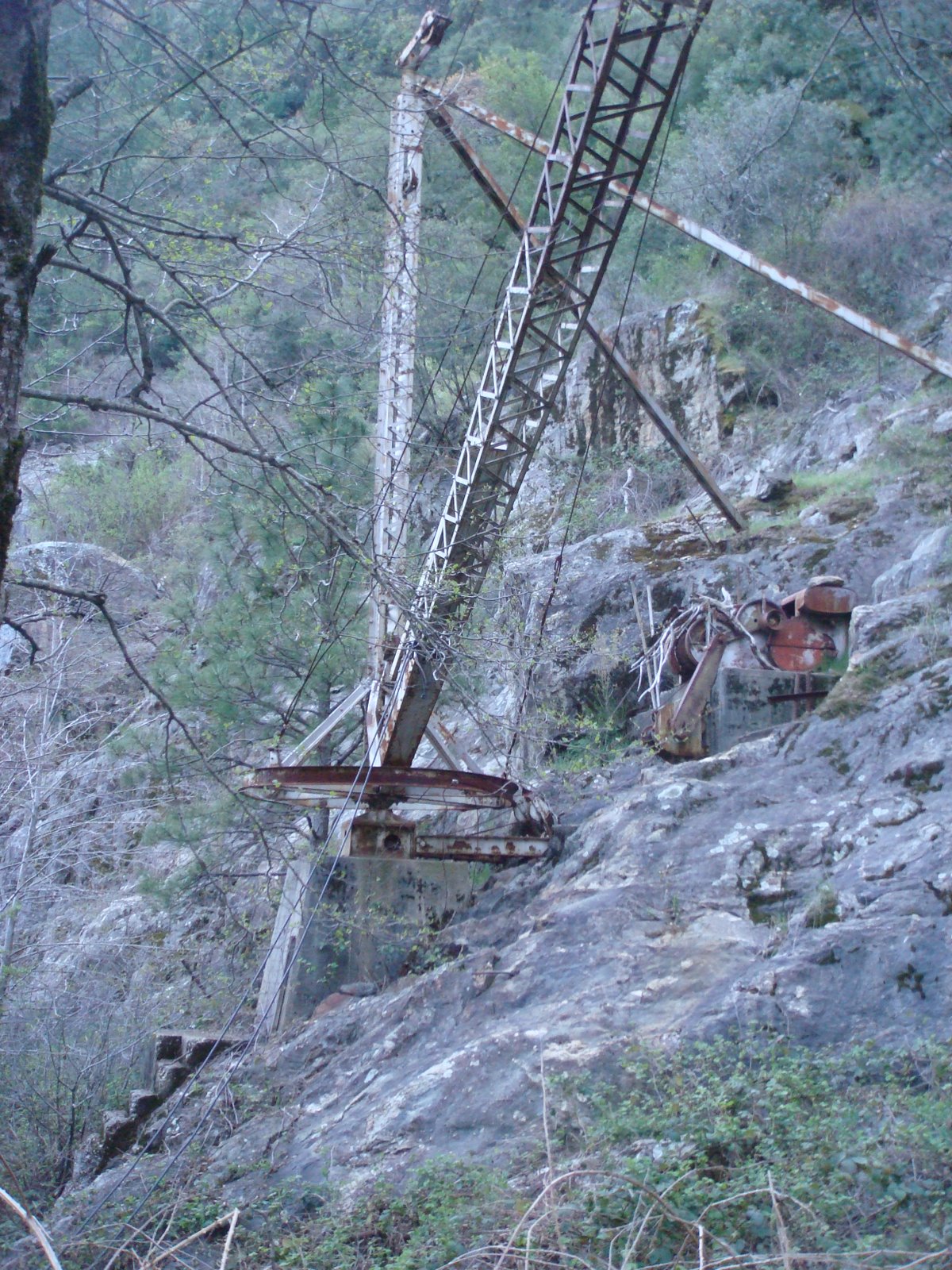
To this permanently anchored crane:
A glimpse back toward the New:
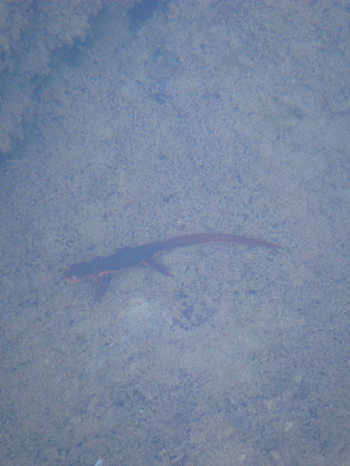
At least we saw a salamander. Although far fewer of them than we saw in the rivers above the dam. I wonder if… Nah, I’m sure that’s just a coincidence:
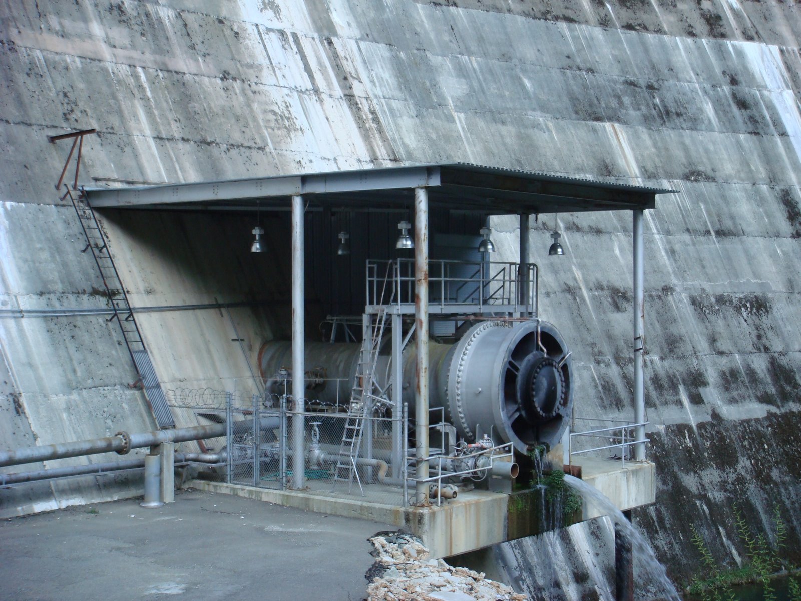
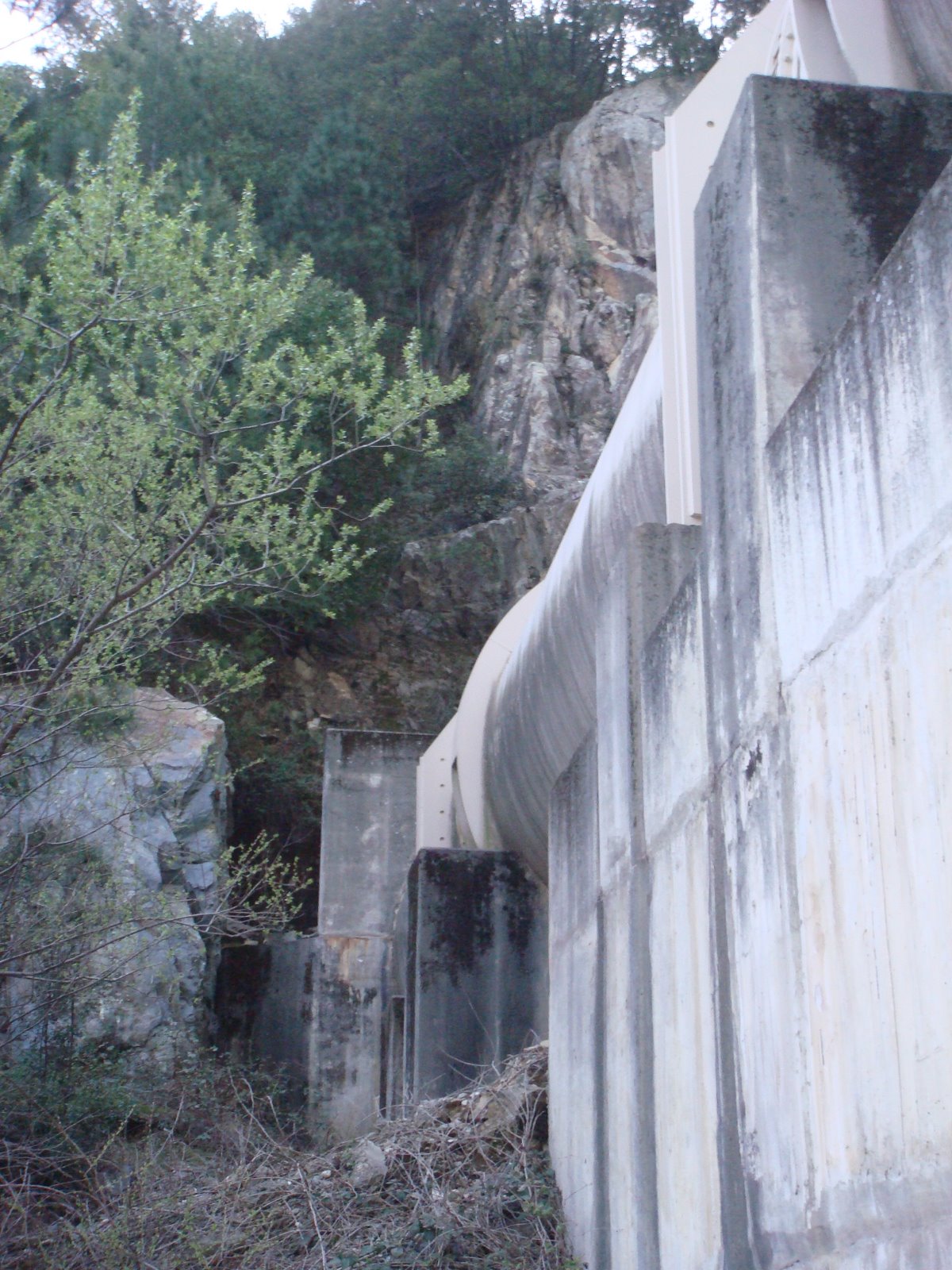
This is where the water destined for the Colgate Powerhouse comes out… Colgate Powerhouse is not located at the base of the dam, like most hydroelectric plants. Instead, the 14-foot diameter New Colgate Tunnel carries the water about 5 miles southwest of the dam to the powerhouse. This increases the momentum of the water, which allows the plant to produce more electricity. The dam’s Pelton wheels are the largest ever built and have a combined capacity of 315 MW:
And this is where the pipes enter the mountain:
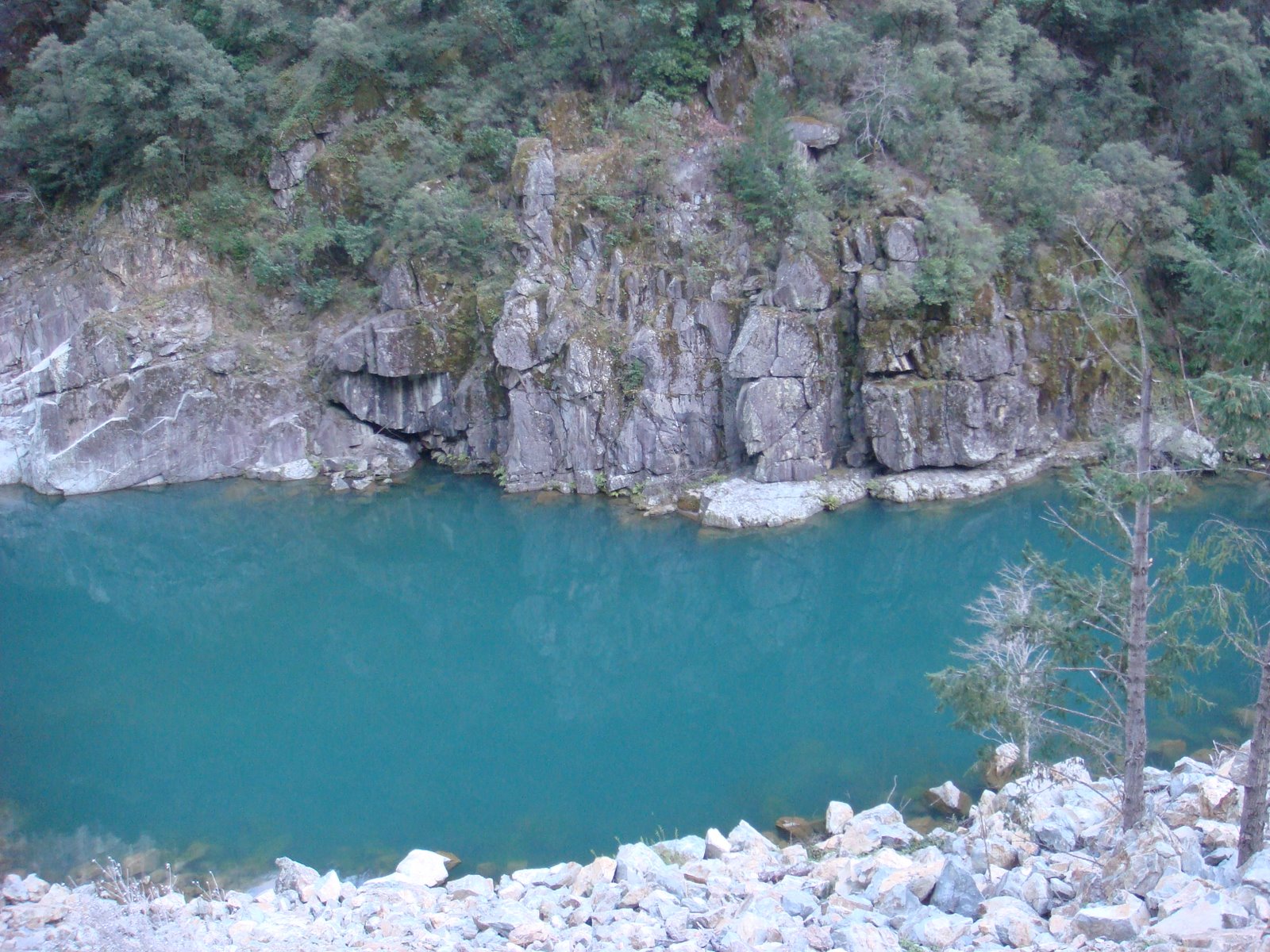
One last look down the still glorious Yuba River on the hike back out:
Click to go to Part 2: The Back…

I am writing a history of Yuba County and am particularly interested in addressing the scope of the Yuba River watershed. Here, I am looking for pictures, stories, and construction details of the OLD Bullards Bar Dam, the one of gold-mining days.
So….do you remember seeing the diversion tunnel now?
lol!!