Located near the town of Sheki, this abandoned fortress was actually one of my favorite sites in Azerbaijan (and by “this” I am including the hike in as well as Gelersen-Gorersen itself)…
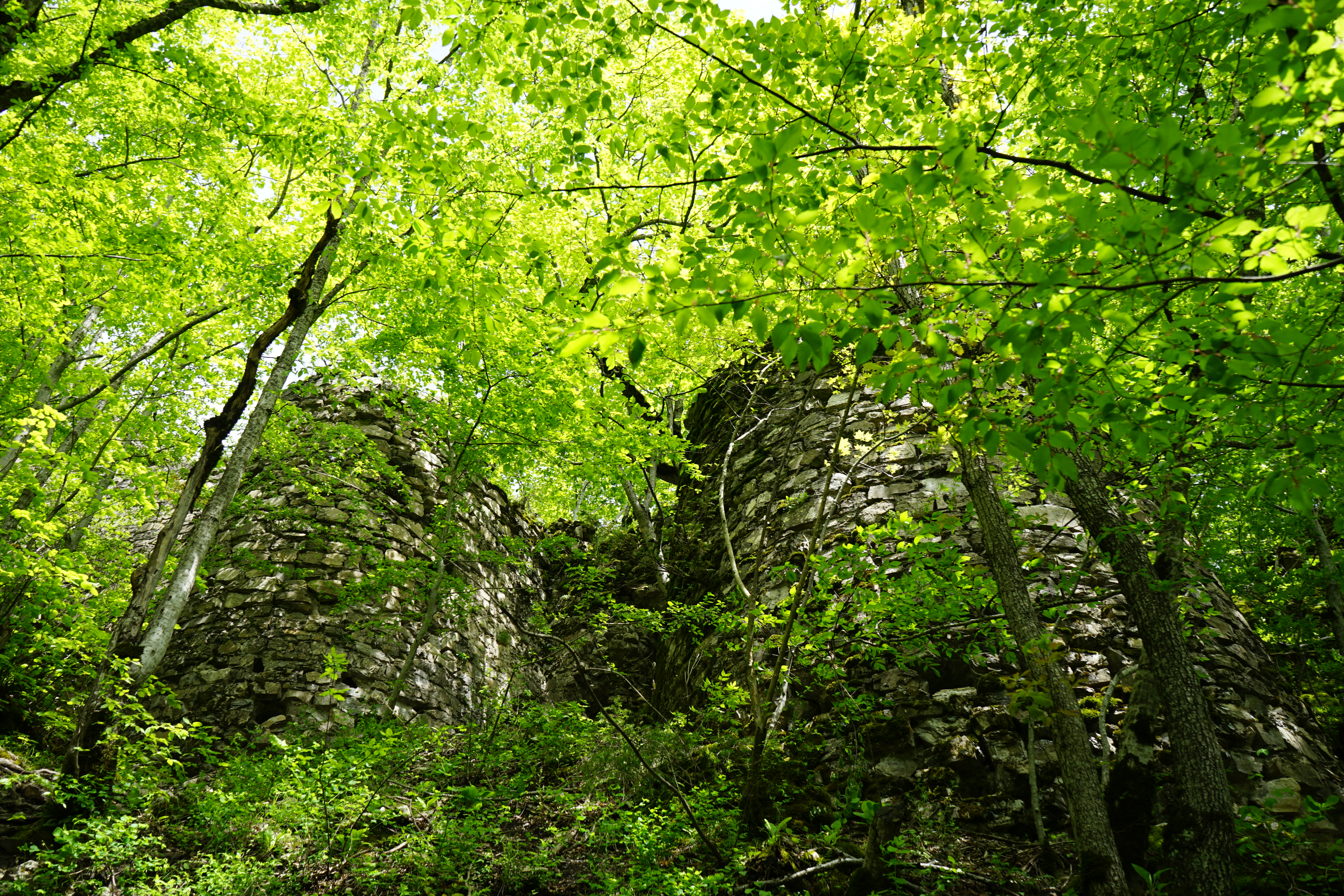
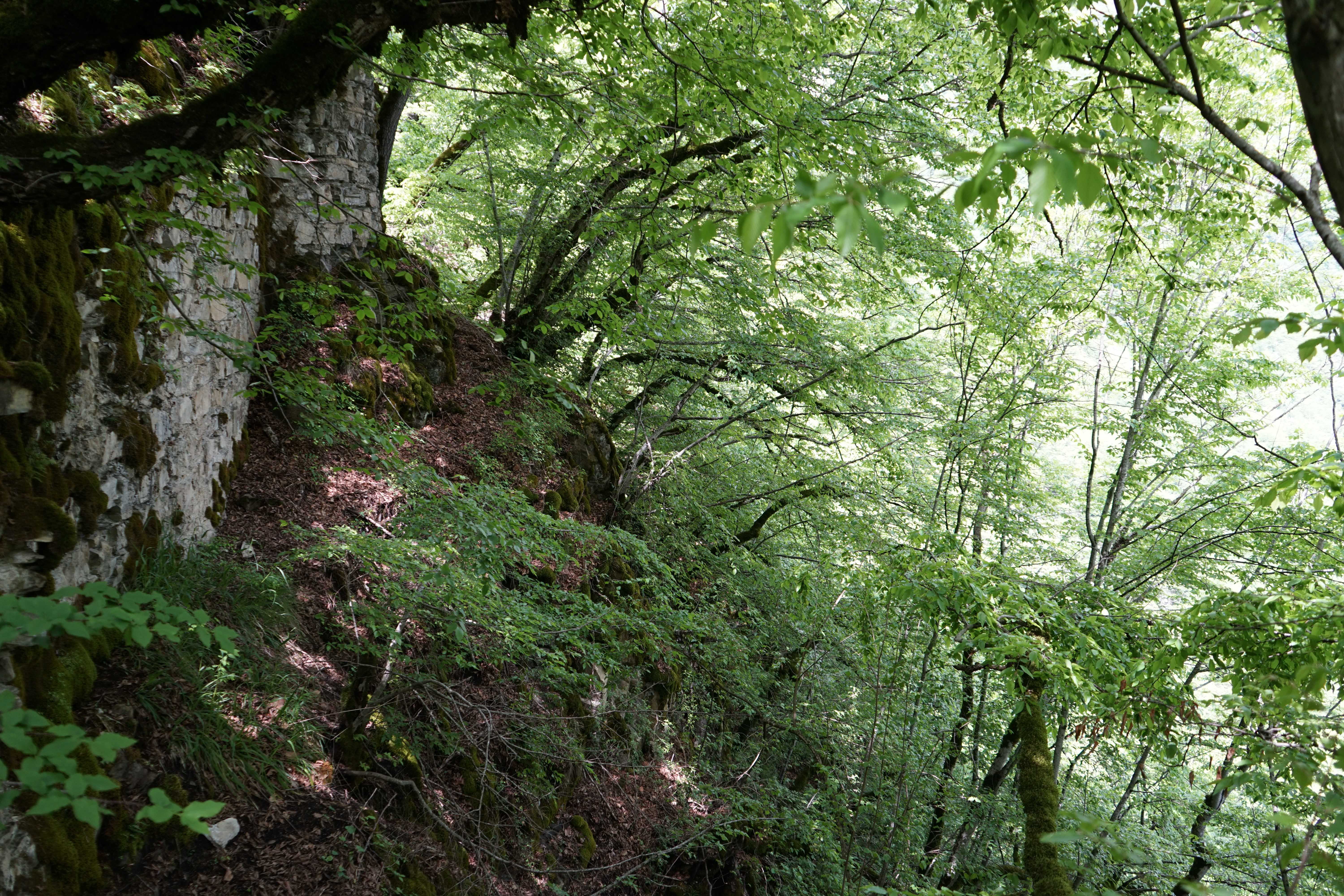
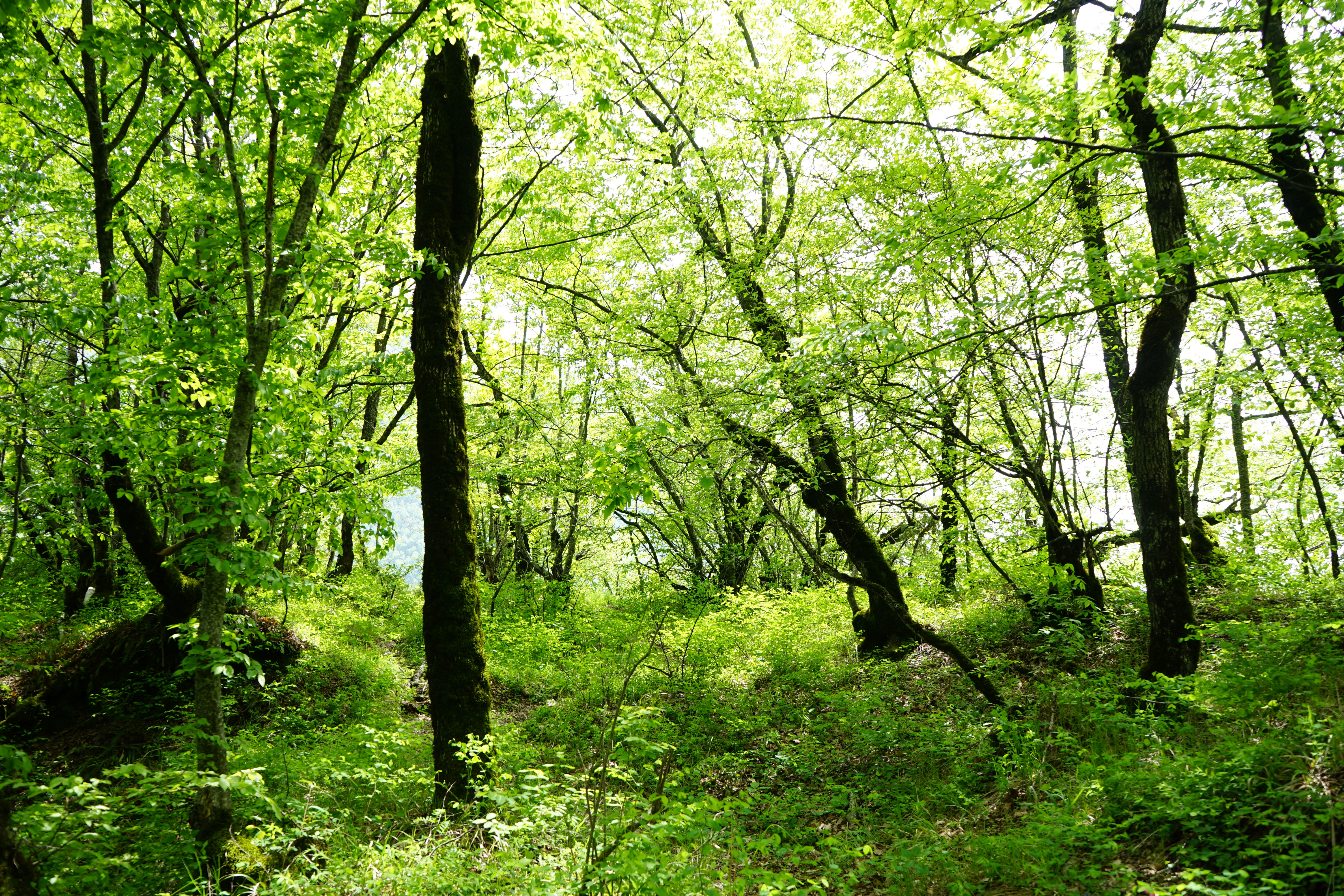
A fragment of the fortress now almost lost to the forest:

Although the fortress dates back to the 8th or 9th century, the name “Gelersen-Gorersen” comes courtesy of Persian ruler, Nadir Shah Afshar, who came to power after the collapse of the Safavid dynasty. Nadir Shah Afshar, sometimes referred to as the “Napoleon of Persia” for his extensive conquests, successfully conquered this part of what is now Azerbaijan in the 1700s and selected a man named Malik Najaf to rule the area for him. However, as dictators often do, Malik Najaf overdid things and people began to grow weary of his tyranny and taxes.
An assistant to Malik Najaf, Haji Chalabi Khan, that was also appointed by Nadir Shah, was sympathetic to the plight of the local population and became popular among them. As these things often go, he ended up leading a successful revolt and overthrew Malik Najaf.
When the army of Nadir Shah arrived to put down the rebellion in 1744, the local population around Sheki took refuge in the fortress with Chalabi as their leader.
The outlines for terms of surrender were relayed to Chalabi while Nadir Shah’s forces were gathering in Sheki, but Chalabi did not respond. Growing impatient, Nadir Shah sent a messenger to the fortress demanding a response to his terms of surrender. Without hesitation, Chalabi sent the messenger back to Nadir Shah with a simple note, “You will come and see.”
Outraged by the insolence of Chalabi, Nadir Shah ordered an assault on the fortress. However, the fortress was well placed and the steep mountainside with its sheer cliffs down to the river prevented Nadir Shah from being able to lead a successful siege. Ultimately, Nadir Shah was forced to withdraw with his forces in defeat.
Chalabi became the unchallenged ruler of the Sheki area and the fortress has been known ever since by its current name as “Gelersen-Gorersen” translates in the Azerbaijani language as “will come – will see.”
You’ve got to love that…
*****
You will not receive easy directions to Gelersen-Goreresen from anyone. You just won’t. There are no signs and no clear routes. You just have to start walking in the right direction and ask along the way. My best advice would be to locate it on Google Earth before you go and then to zoom in with the “Satellite View” in order to follow the route at home with your computer. That way you will at least have some idea of what to expect along the way…
The GPS coordinates for Gelersen-Goreresen are 41.263403, 47.228443.
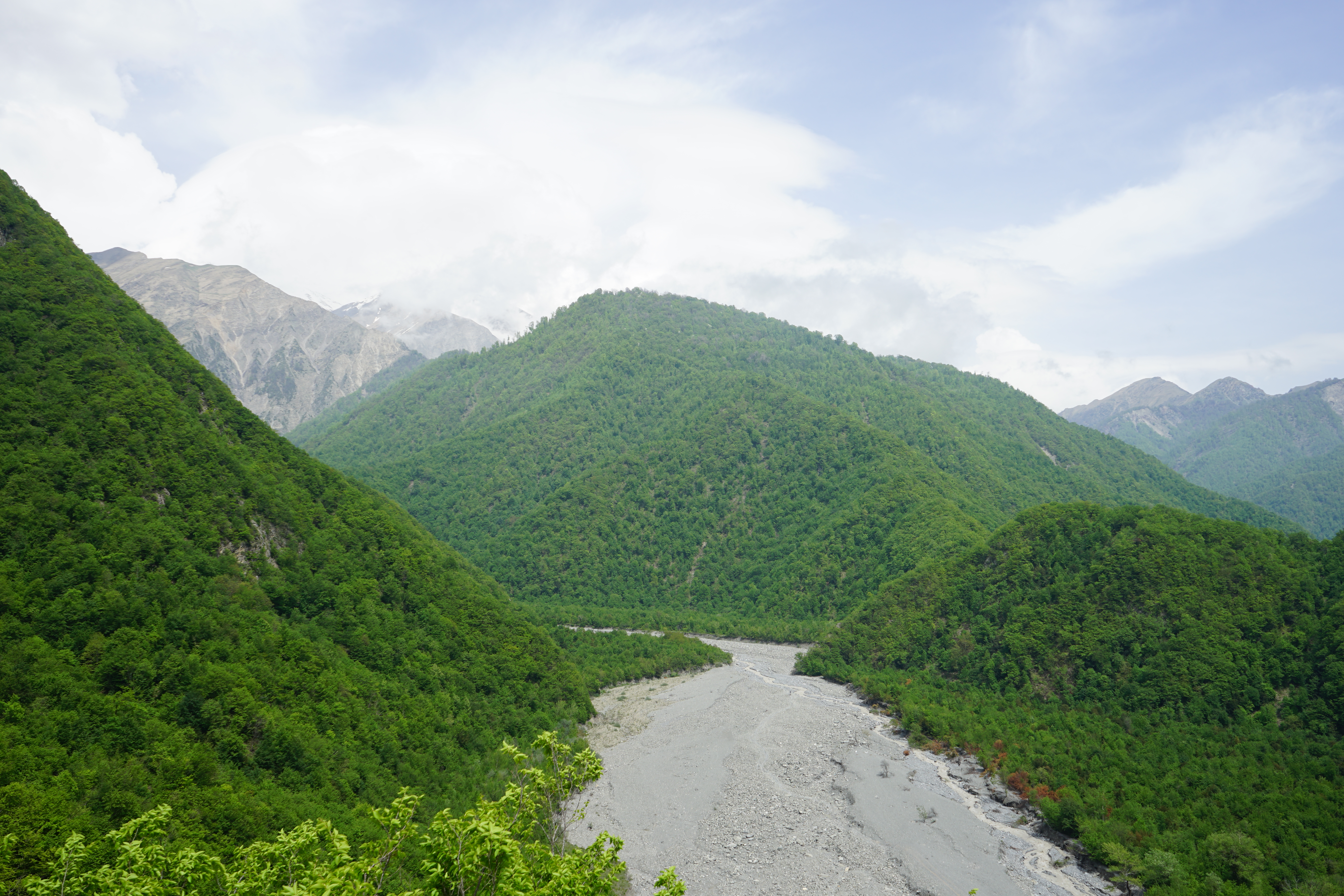
No matter where you start from, you will eventually find yourself along the Kish River and will likely cross it at least once. When you are getting close to the fortress, the river should be on your right:
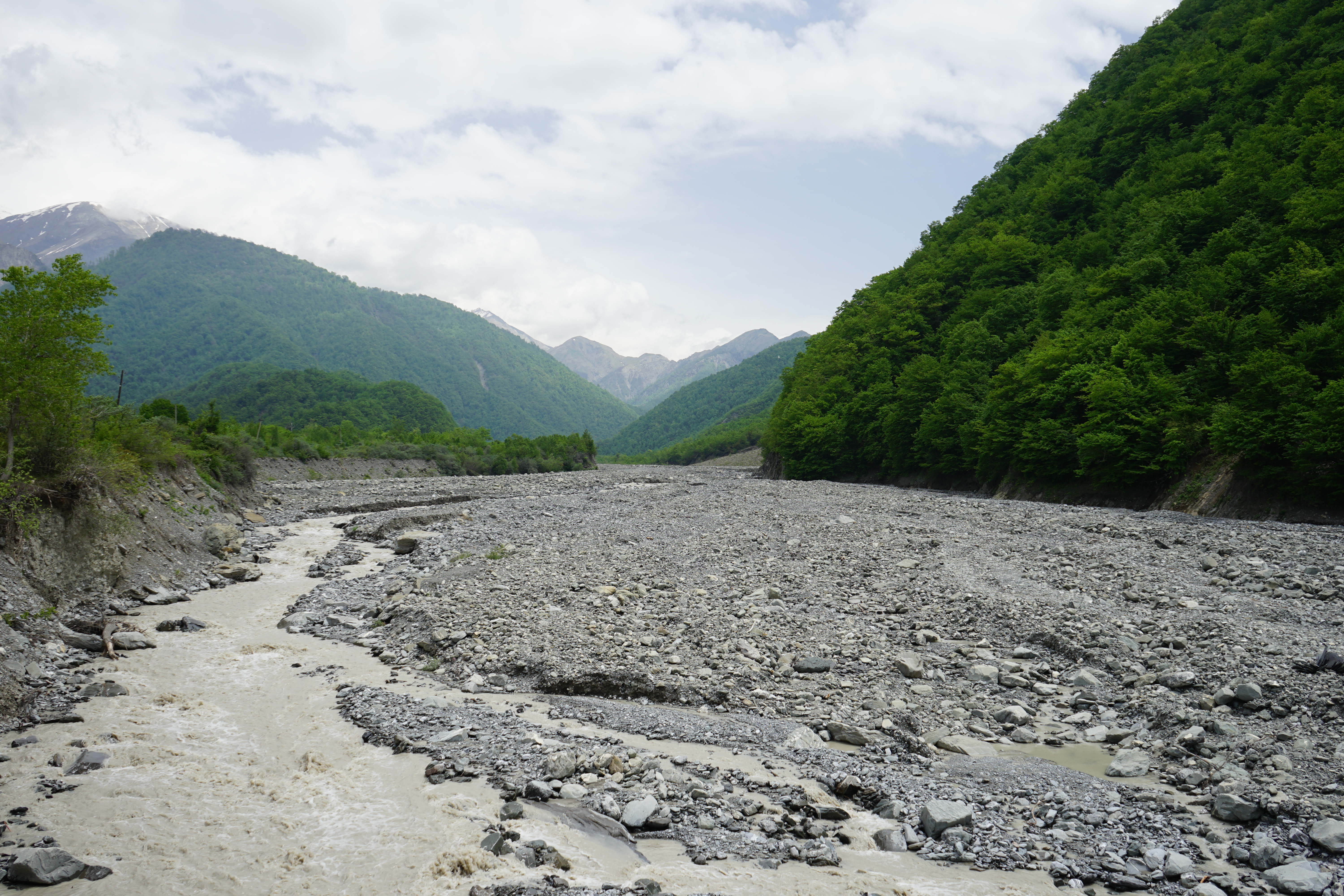
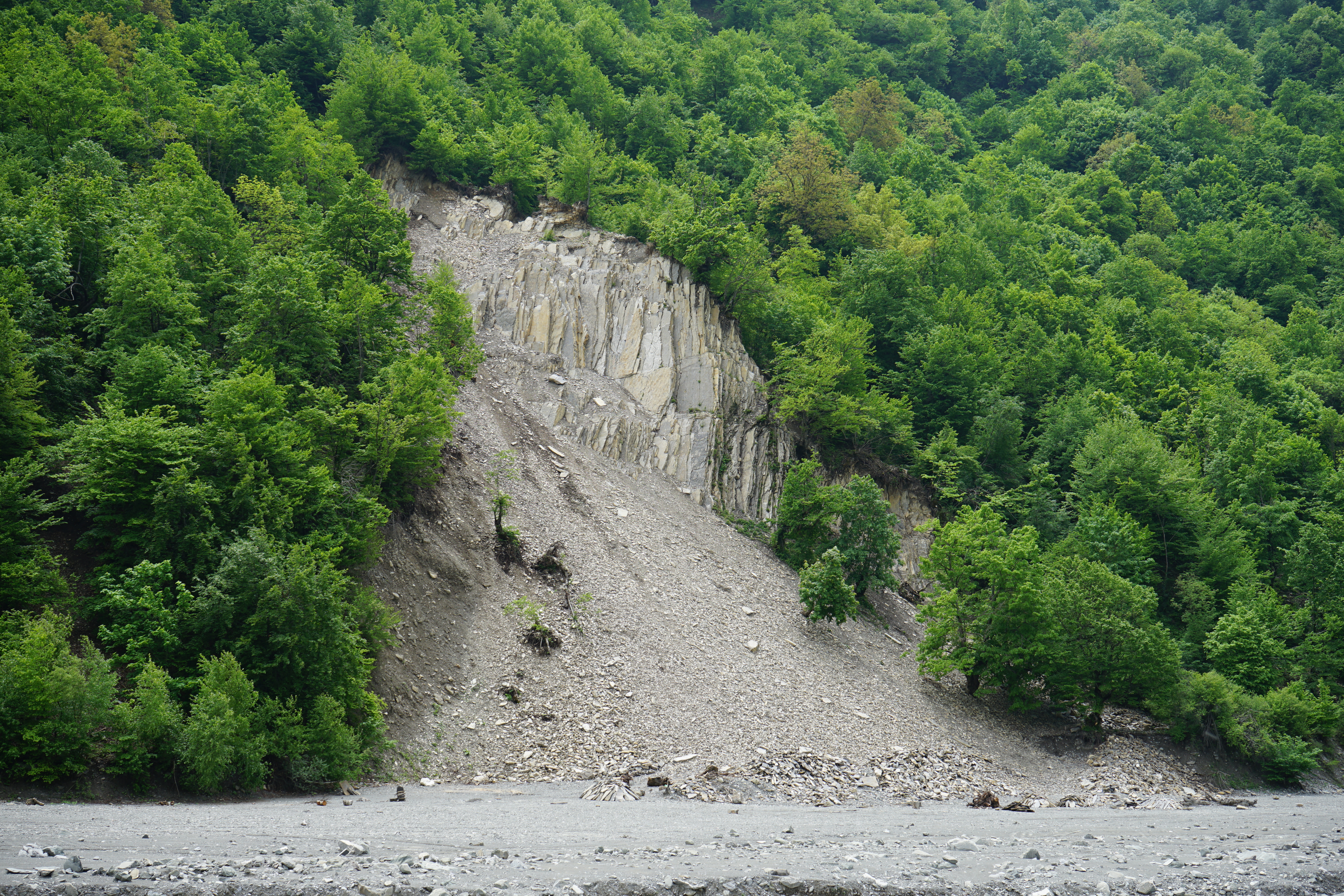
Along the way, you’ll pass an artisanal slate mine situated on the river. This should be across the river from you:
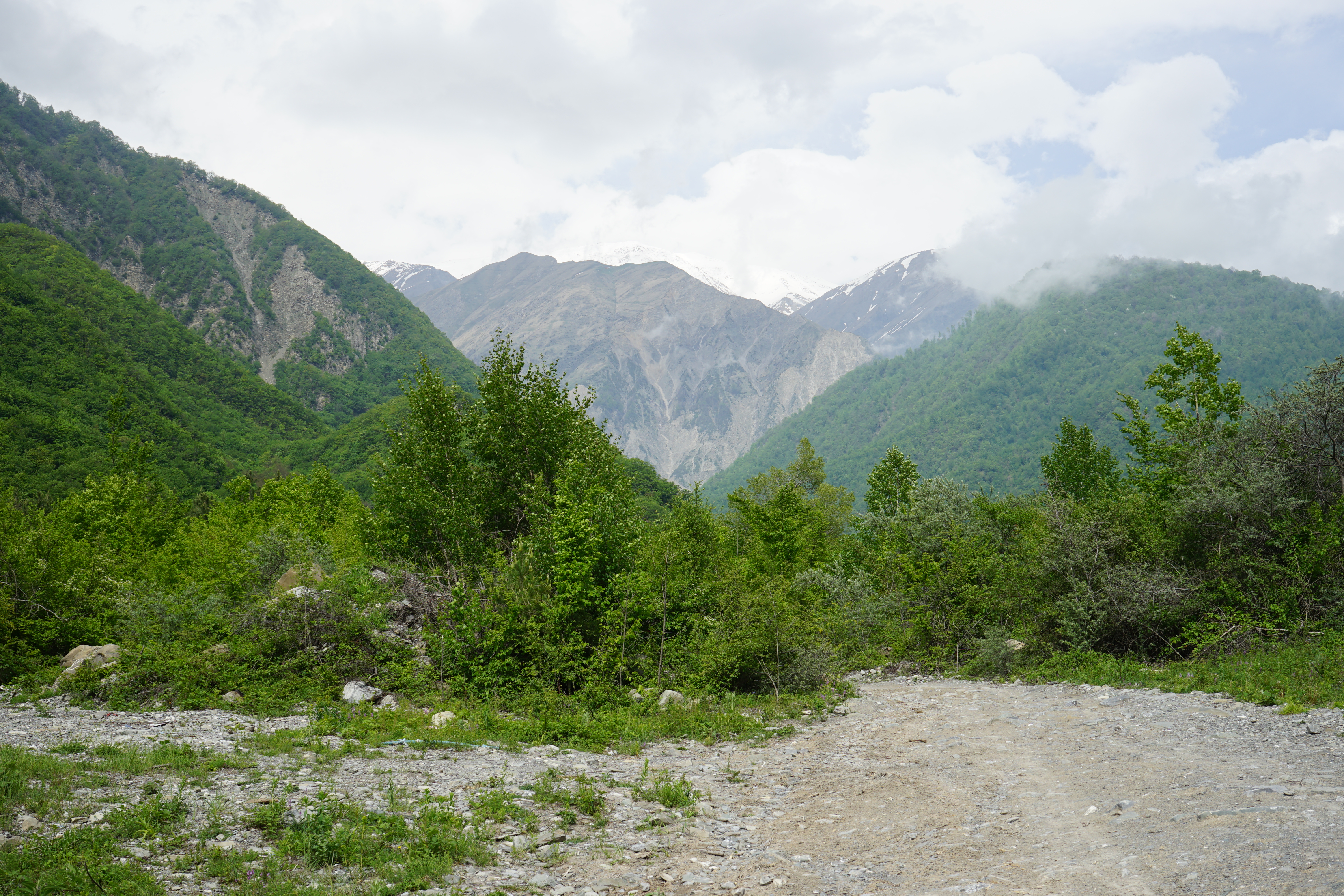
When you come to the fork in the dirt road pictured below, GO TO THE LEFT rather than to the right as we did. If you go to the right, you will find yourself abruptly walking into a military camp where you’ll meet surprised men with modern rifles that will be quite curious about you. The reason for their presence is that the river is a natural transportation corridor (which is also one reason the fortress was built above it) and just over the mountains that you see in the distance is the restive Russian Republic of Dagestan:
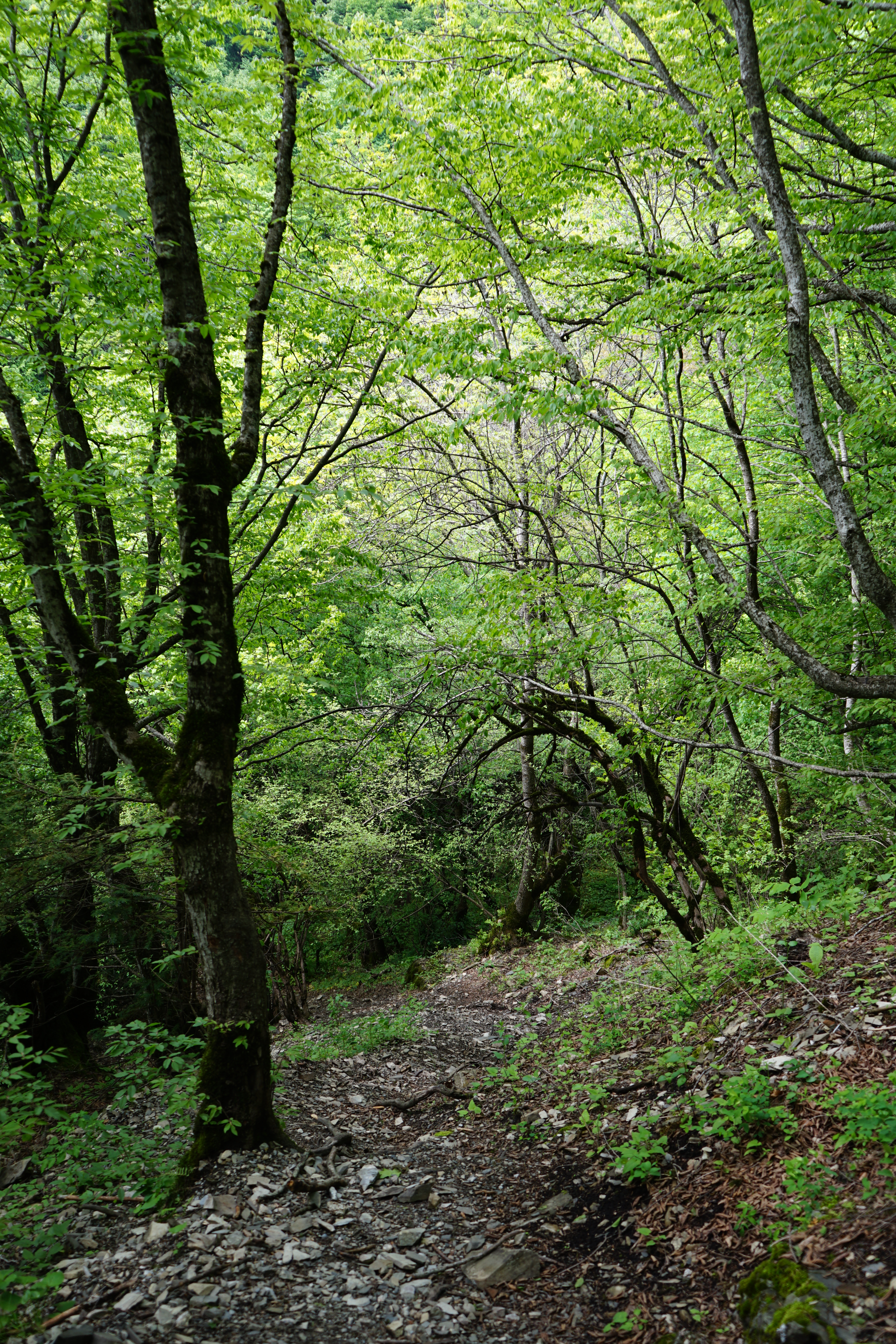
In the final stretch of the trail, you will ascend a very steep promontory jutting out from the mountainside. As mentioned above, the fortress was placed brilliantly and this is actually the easiest – really, the only – approach route. Expect to make frequent use of the trees and vines to haul yourself up. It’s a lot steeper than it looks below – this is a relatively flat section and look how the land drops off on the left:
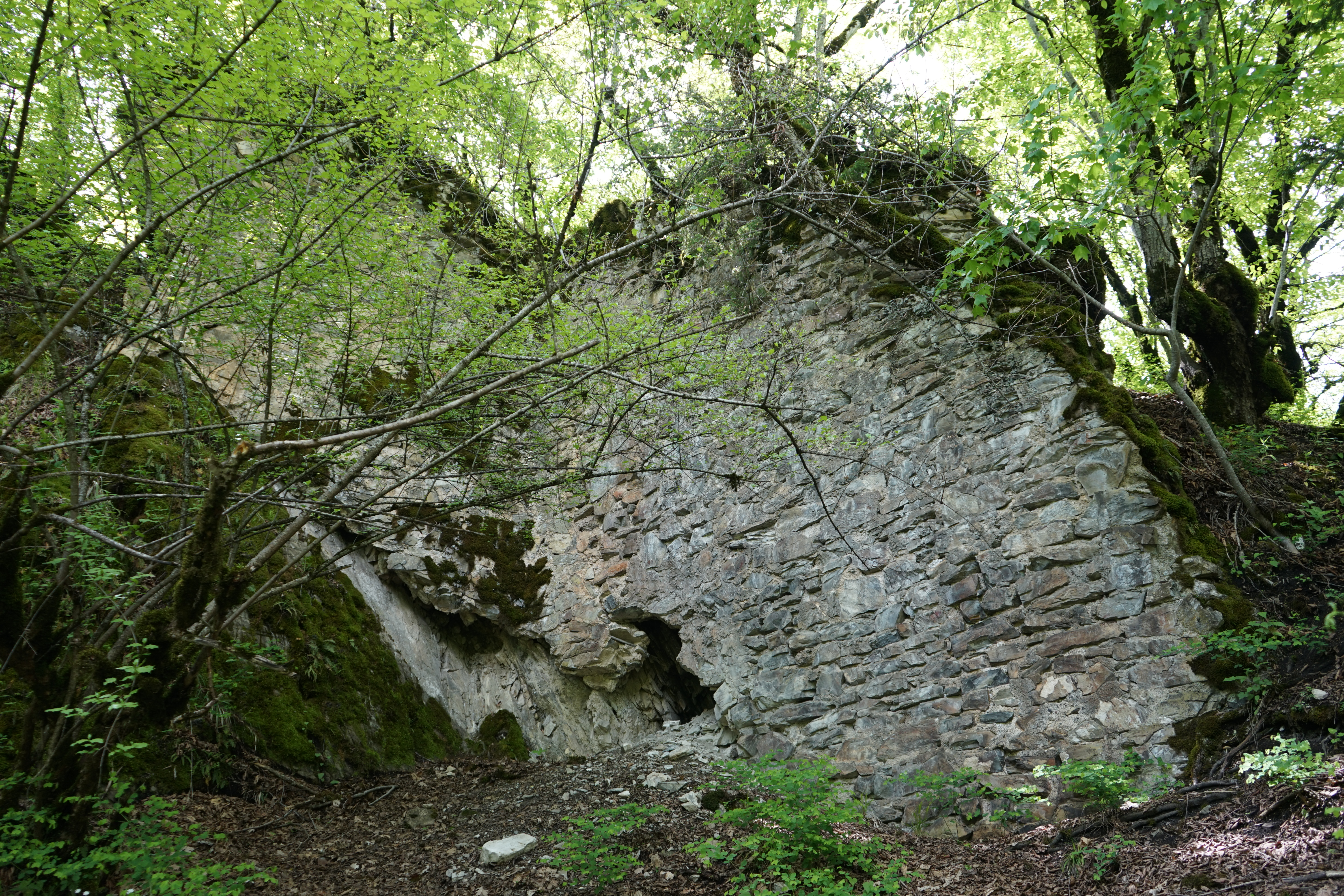
Finally, one scrambles up high enough to spot the walls of the fortress and an opening leading inside:
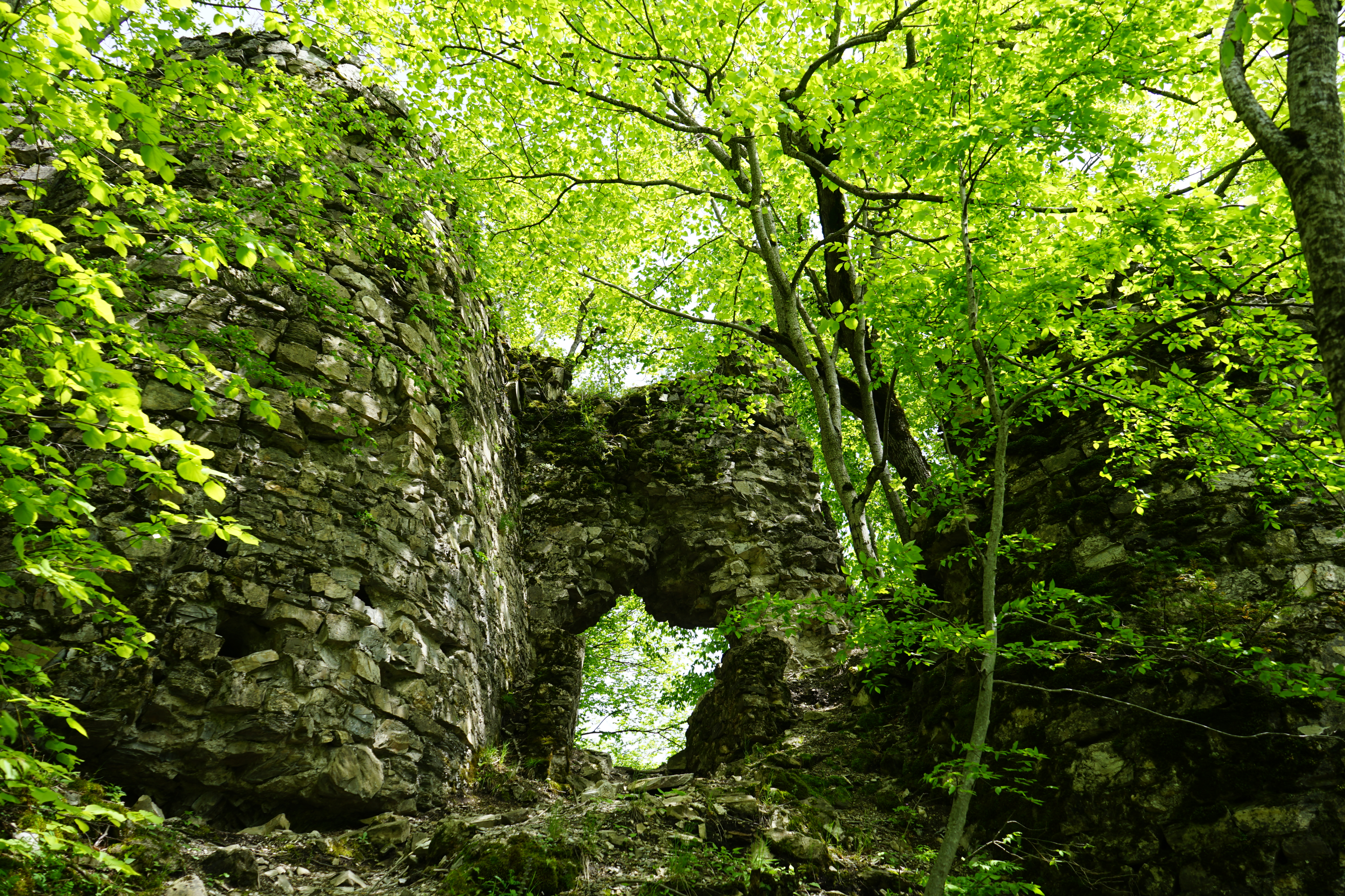
The opening is necessary unless one wishes to really put themselves out there as the rest of the fortress walls in this section are intact enough to prove a formidable barrier to entry. In the picture below, I am unsure if these are the remains of walls or towers, but either way they give a sense of what an attacker would have been up against after an already extremely difficult climb up:
A look back through the opening pictured above:

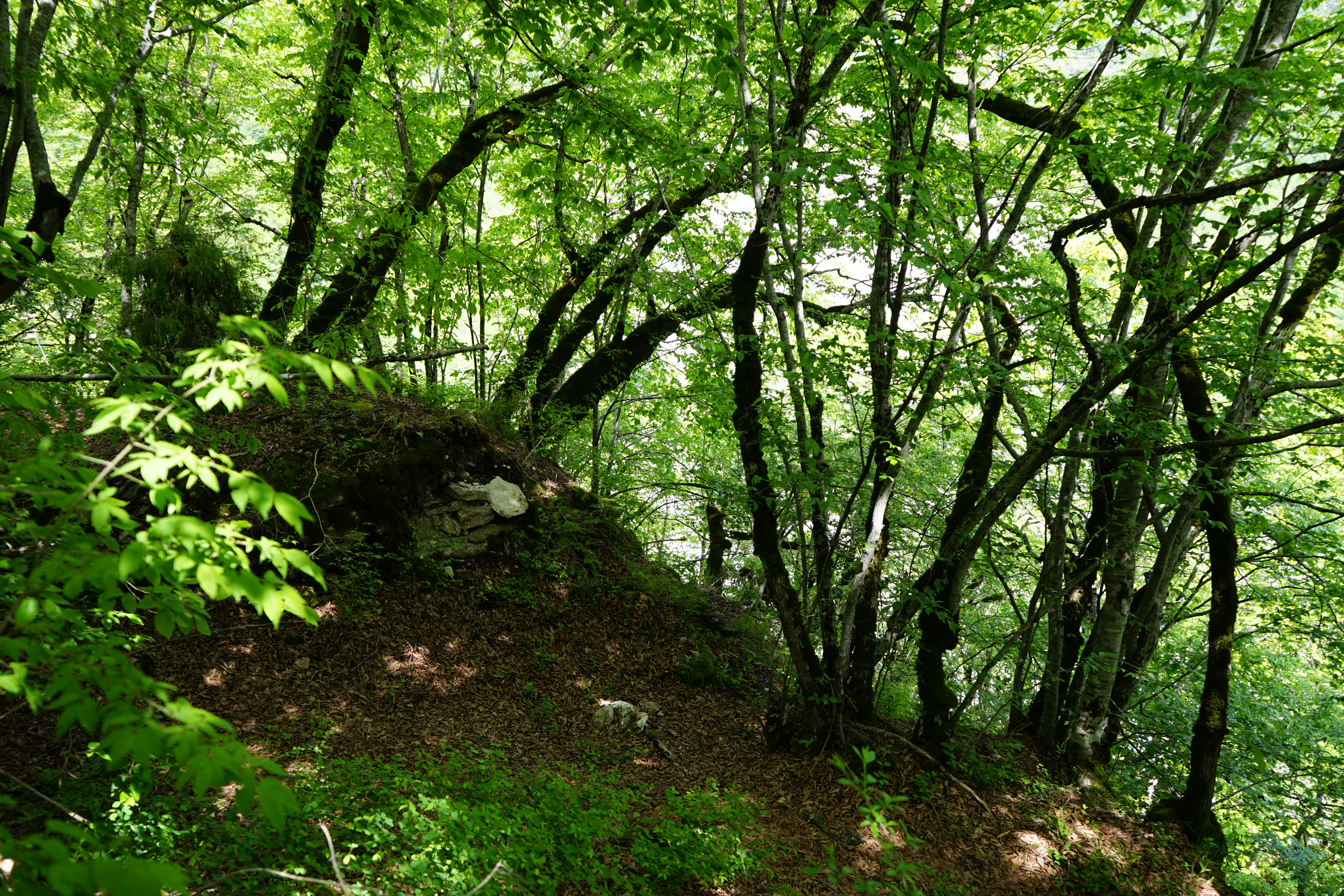
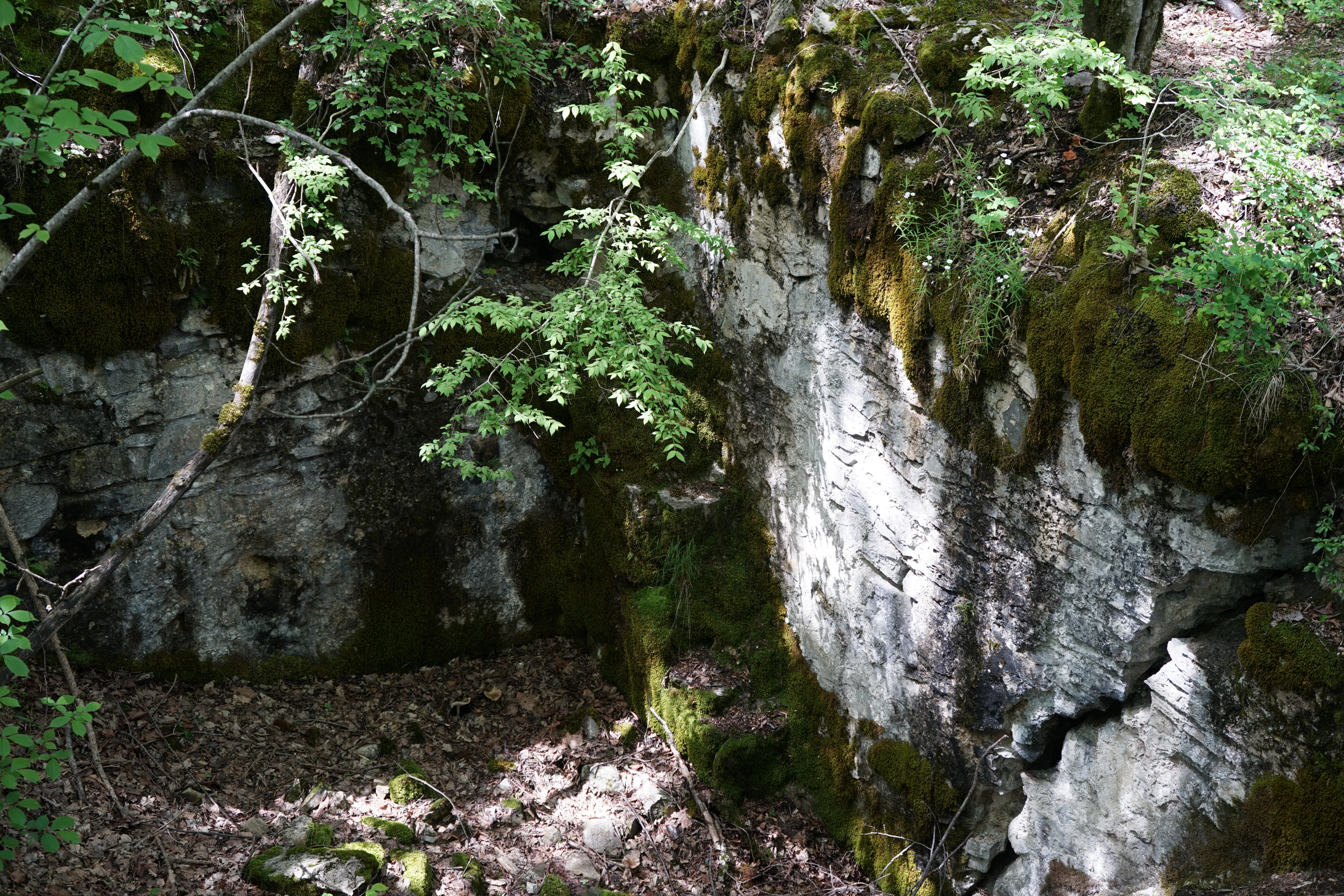
Once inside, one’s initial impression may be that there is very little of the fortress left as, at first, it is mere fragments that are visible:
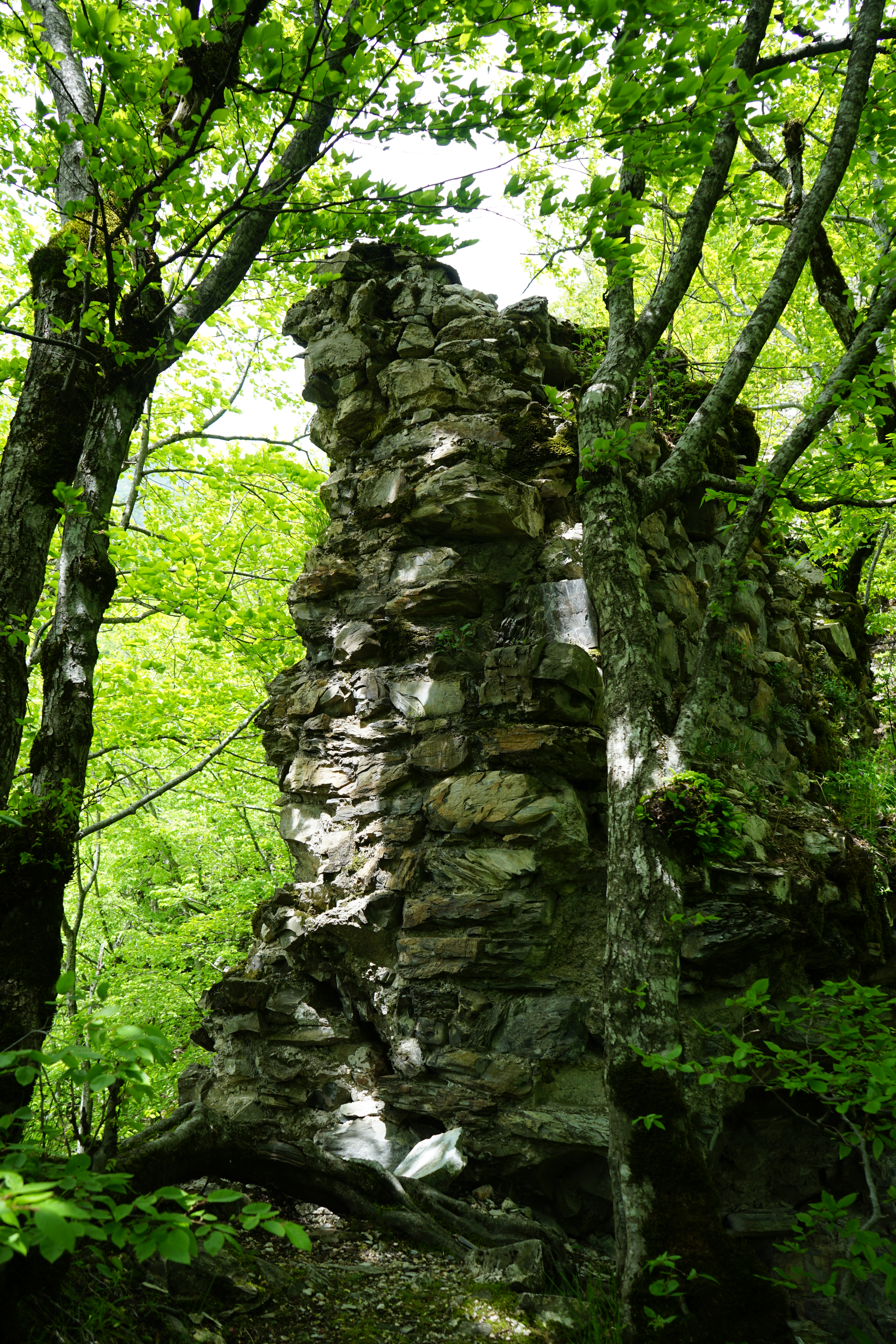
However, after starting to wander around, I realized that many of the “natural” rock outcroppings were actually part of the fortress and it started to become more apparent just how large the fortress was.
The back side of what looked like a natural rock outcrop from the front:
Some of the rooms of the fortress are still clearly visible:

You can see the remains of stairs in the center of this picture that lead out of this room:
Look at how steeply that cliff drops away from the fortress… It goes vertical shortly below the view in the picture and plunges all of the way down to the river:
The highest point is this walled section that, unlike the rest of the fortress, remains completely exposed above the surrounding forest:

As such, this is the only place in the fortress offering an unobstructed view up the Kish River toward Dagestan:
Rather difficult to tell, but this clearing was actually the very heart of the fortress:
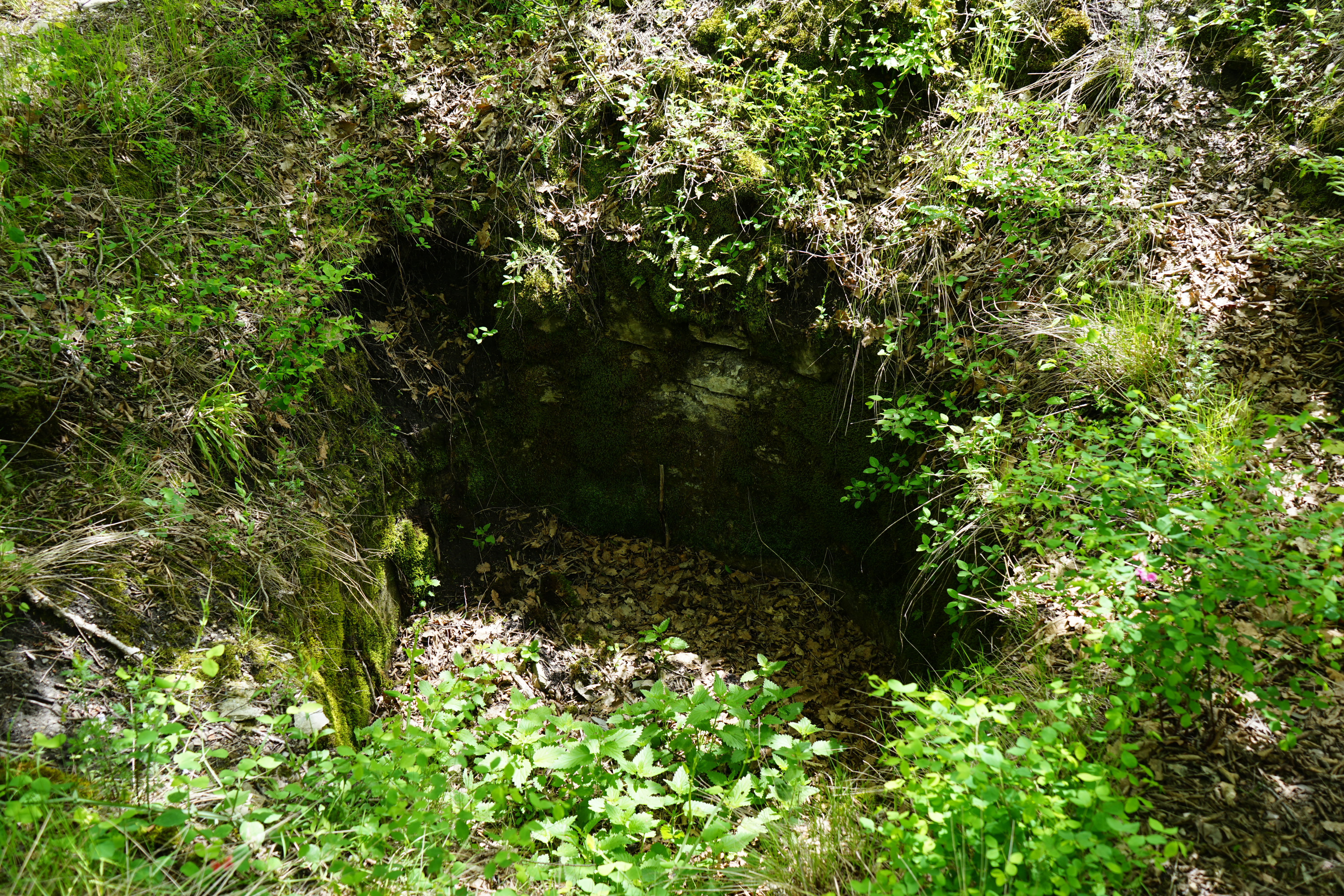
However, the only evidence I could find of human activity was this small well or cellar or whatever:
It was a very beautiful spot in the woods and we had only the sounds of nature around us. Being the only individuals present allowed it to feel far more special than it would have with hordes of tourists crawling all over the place.
Although we explored the fortress for a couple of hours, I’m confident that if we had spent even more time, that we would have discovered more. It felt like there was a lot here…
And imagine what an archaeological dig would uncover:

In a place of such beauty, it is sometimes difficult to imagine the bloody history of the area.

Fantastic! This is right up my alley.
Michael B. Coker
________________________________
A beautiful place. And apparently very safe from marauders.
Thank you so much for your detailed info of how to get to this fortress. How long is the hike??? I am planning to take a small group of photographers through Azerbaijan and may add this to the trip but need to scope it out first.
It really depends on where you start from. You could drive most of the way there, but we opted to hike. So, it took us about an hour of hiking. If you want to drive to the closest point possible, you could probably hike up to it in fifteen minutes or so.
I was there today and had the entire place to myself. What an experience. The last stretch to the top was pretty tough but well worth it. Google Maps was reliable, except that it sends you through a resort (Narin Qaia) where the road is blocked off on the other side. Instead, when you get to the front gate of NQ, turn right instead of going through it and follow that road along the river. Then take a left at the very short road that rejoins the Google Maps route. If you go straight, you will run into that military camp and have to deal with the soldiers.
Yes, I remember it being a bit of a scramble to the top… Google is useful for sending one in the correct general direction, but, as you observed, not so good on specifics!